
Sensor Integration
Real-time data from various sensors helps make predictions as accurate as possible and allows visualization of the most recent environmental conditions.
- Multi-sensor network deployment
- Real-time environmental data collection
- Automated data processing and analysis
- Integration with prediction models
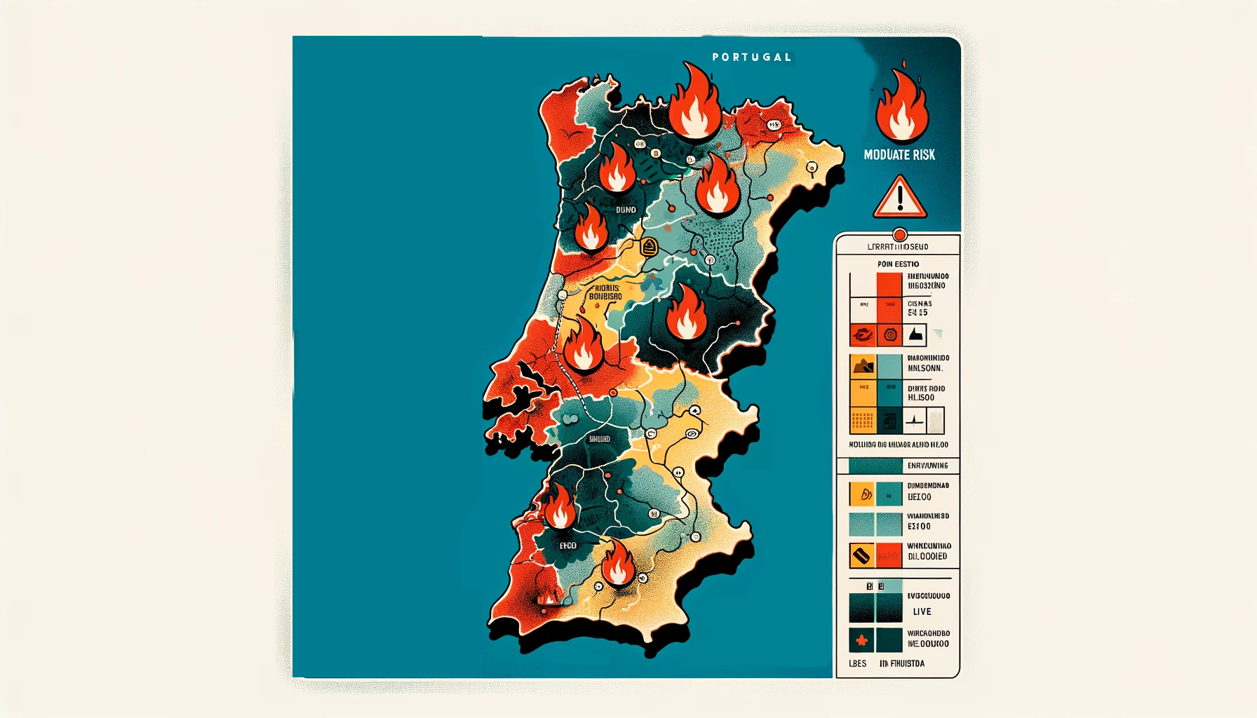
Wildfire Alerts & Monitoring
The EcoSentinel system is capable of alerting users to potential wildfires and monitoring active ones in real-time.
- Early warning system for fire risks
- Real-time tracking of active wildfires
- Fire risk assessment by region
- Automated alerts and notifications

AI-Powered Predictions
View predictions on interactive maps to anticipate events and plan surveillance strategies or preventive measures.
- Advanced machine learning algorithms
- Interactive prediction maps
- Historical data analysis and patterns
- Preventive planning support

Comprehensive Flood Monitoring
Track active flood incidents across the Greater Lisbon area, monitor water levels in rivers and reservoirs, and assess infrastructure damage in real-time.
- Active incident tracking with operator deployment
- River and reservoir water level monitoring
- Infrastructure damage assessment
- Real-time data visualization on interactive maps